


Unique Curiosities
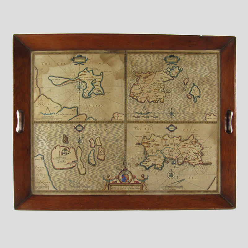
19th Century Mahogany Tray with a 17th Century Map of the Holy Islands
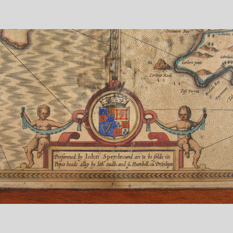
A 19th century mahogany glass bottom two handled tray inset with a 17th century hand colored engraved map of the “Holy Islands” originally published by John Speed in his “Theatre of the Empire of Great Britaine.” The map depicts Lindisfarne (‘Holy Island’), the Farne Islands, Guernsey (with Herm and Sark) and Jersey, after Jodocus Hondius’ map of 1610. The map is sandwiched between two sheets of glass with the reverse of the map visible from the bottom, revealing a complete set of text briefly describing the history and topography of the islands.
Dimensions: 2 × 22 1/2 × 17 3/4 in.
Inventory #UN6150
SOLD